Travel
VANCOUVER George (1798)
A Chart shewing part of the Coast of N.W. America, with the Tracks of His Majesty's Sloop Discovery and Armed Tender Chatham; Commanded by George Vancouver Esqr. and prepared under his immediate inspection by Lieut. Joseph Baker, in which the Continental Shore has been traced and determined from Lat. 59.o 45' N. and Long. 219.o 30' E. to Lat. 59.o 56' N and Long 212.o 08 E. at the periods shewn by the track
£2500.00

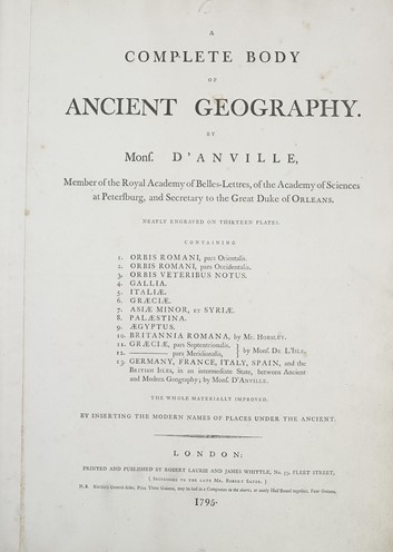
D'ANVILLE Jean-Baptiste Bourguignon (1795)
A Complete Body of Ancient Geography. . Containing [list of 13 maps:] Orbis Romani pars Orientalis; Orbis Romani pars Occidentalis; Orbis Veteribus Notus; Gallia; Italia; Graecia; Asia Minor et Syria; Palestina; Aegyptus; Britannia Romana; Graecia pars Septentionalis & pars Meridionali; Germany, France, Italy, Spain and the British Isles
£1250.00


