Travel
FADEN William Jr (1807)
A Map of the County of Kent Drawn from the Topographical Survey taken, by Order of the Honourable Board of Ordnance, under the Direction of Lt. Colonel Wm. Mudge, Royl. Arty. F.R.S. Reduced from the large map in four Sheets, by a Scale of One Inch to two Statute Miles
£1500.00

LAY William &; HUSSEY Cyrus M (1828)
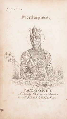
A Narrative of the Mutiny, on Board the Ship Globe, of Nantucket, in the Pacific Ocean, Jan. 1824. And the Journal of a Residence of two Years on the Mulgrave Islands; with Observations on the Manners and Customs of the Inhabitants
£1600.00
"THE MOST GORY MUTINY IN PACIFIC HISTORY" (A. Grove Day)
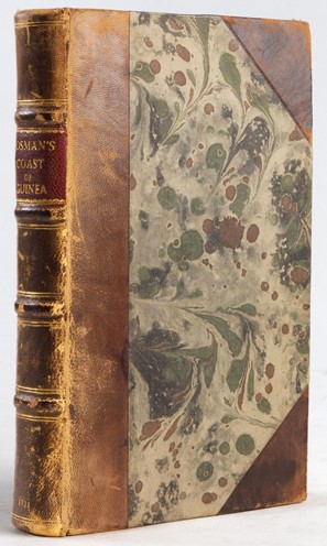
BOSMAN William (1721)
A New and Accurate Description of the Coast of Guinea, Divided into the Gold, the Slave and the Ivory Coasts. Containing a Geographical, Political and Natural History of the Kingdoms and Countries: With a Particular Account of the Rise, Progress and Present Condition of all the European Settlements upon that Coast; and the Just Measures for Improving the several Branches of the Guinea Trade
£1200.00
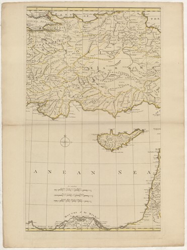
BELL Andrew ([ca. 1770])
A New & Accurate Map of the Seat of War, containing the Morea, the Islands of the Archipelago, and a great part of Turkey in Asia Drawn from the best Authorities, and on the same Scale as the large Map of the Seat Of War between the Russians, Turks & Poles, lately Publish'd by Andrew Dury, being intended as a Supplement to the same, by Peter Bell, Geographer
£3000.00
HALLEY Edmond ([ca. 1722])
A New and Correct Sea Chart of the Whole World shewing the Variations of the Compass as they were found in the year [gap] … [second title:] Nova & Accuratissima Totius Terrarum Orbis Tabula Nautica Variationum Magneticarum Index Juxta Observationes Anno. 1700 habitas Constructa per Edm. Halley
£25000.00

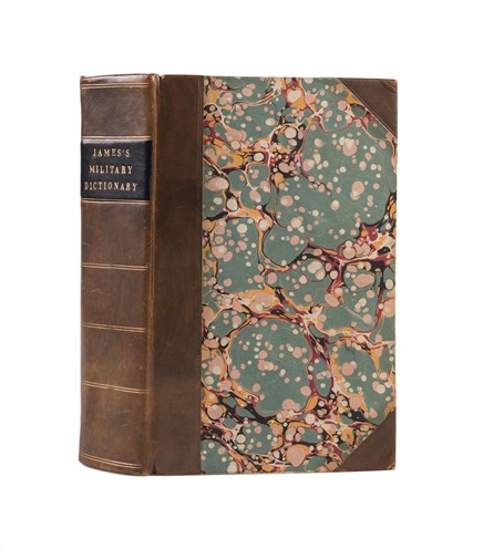
JAMES Charles (1802)
A New and Enlarged Military Dictionary, Or, Alphabetical Explanation of Technical Terms: Containing, among other Matters, a Succinct Account of the Different Systems of Fortifications, Tactics, &c. Also the Various French Phrases and Words that have an Immediate, or Relative Connection with the British Service
£275.00
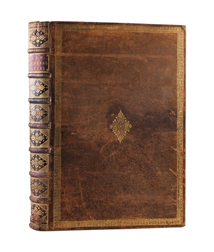
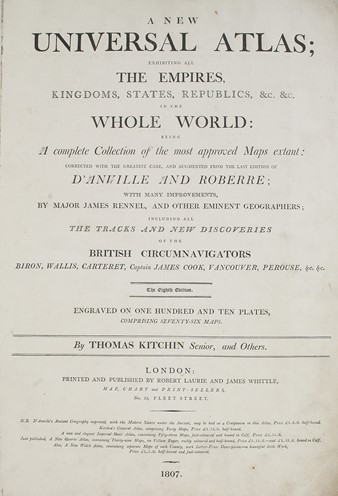
SAYER Robert (1807)
A New Universal Atlas; exhibiting all the Empires, Kingdoms, States, Republics, &c. &c. in the whole world: being a complete collection of the most approved maps extant: corrected with the greatest care, and augmented from the last edition of d'Anville and Roberre: with many improvements, by Major James Rennel, and other eminent geographers; including all the tracks and new discoveries of the British circumnavigators Biron, Wallis, Carteret, Captain James Cook, Vancouver, Perouse, &c. &c
£20000.00

