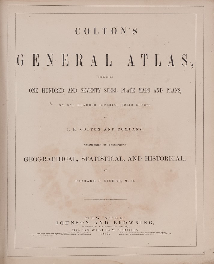
Colton's General Atlas, containing One Hundred and Seventy Steel Plate Maps and Plans.
COLTON Joseph Hutchins (1859.)
£4000.00
Please contact us in advance if you would like to view this book at our Curzon Street shop.
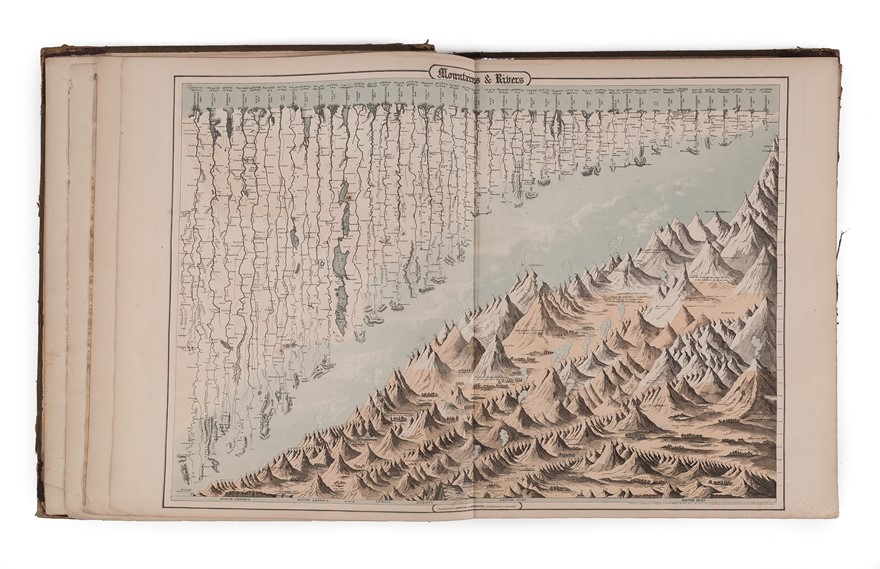
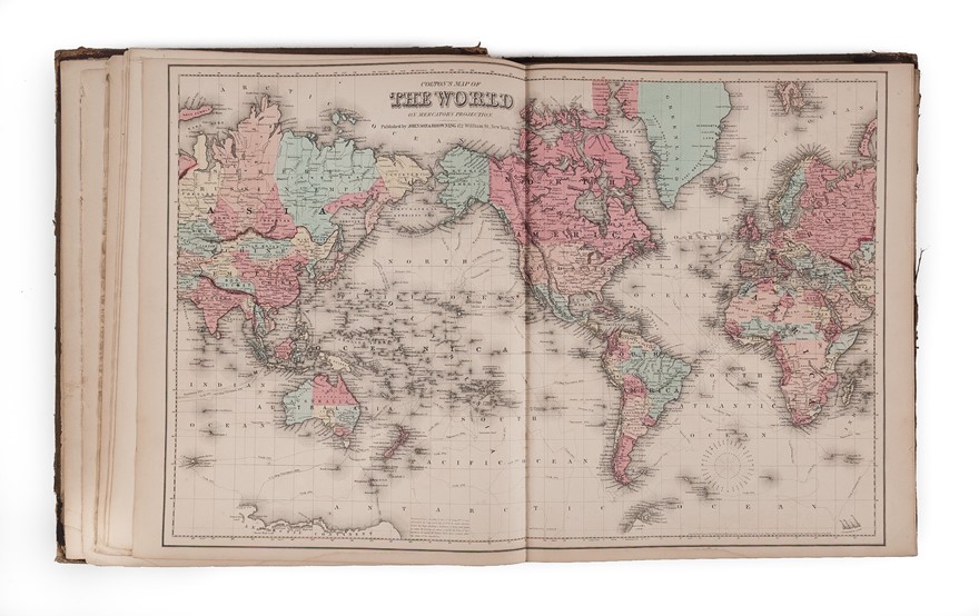
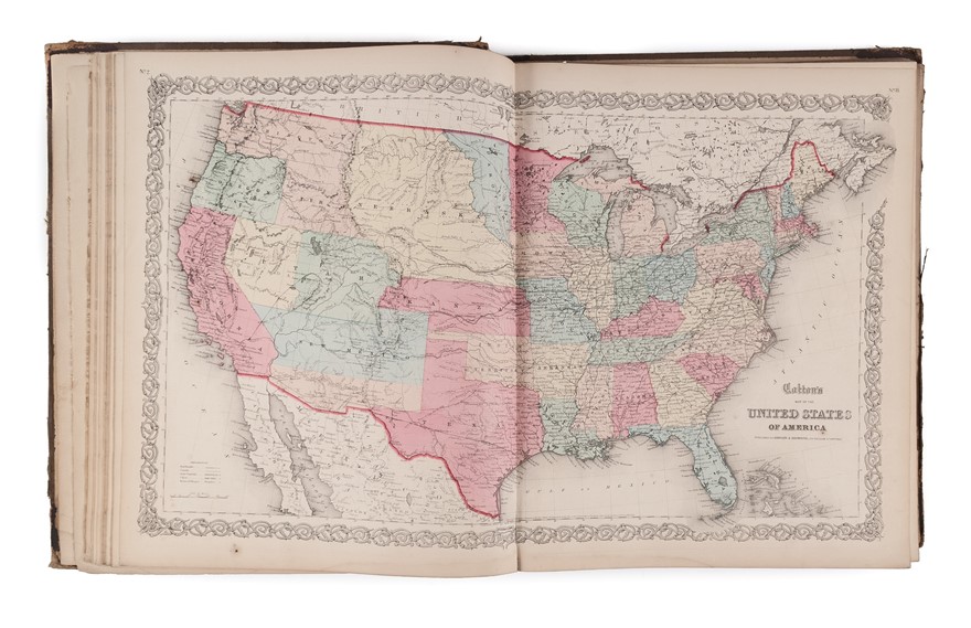
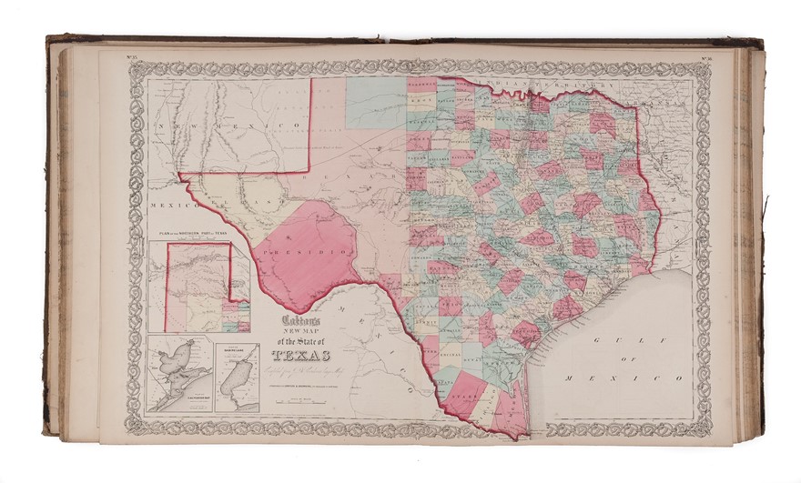
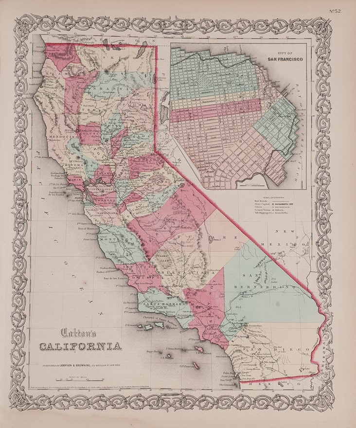
Folio (450 x 375 mm); two volumes in one; ninety-nine maps in strong original color. Original brown cloth covered boards stamped in gilt with 'Colton's General Atlas With Descriptions'. Contemporary half calf with cloth-covered boards, gilt titling to front board; rebacked, corners rebuilt. Internally clean. This edition has double-page maps of Texas and Kansas with Nebraska. New York : Alvin Jewett Johnson, & Ross C. Browning,
Fifth edition of Colton's world atlas, which was first published in 1856, and reprinted regularly thereafter.
John Hutchins Colton (1800-1893) was one of the leading American cartographic publishers. This atlas provides an encyclopaedic and up-to-date description of the world, the maps accompanied by text - "descriptions, geographical, stastistical, and historical" - compiled by Richard S. Fisher.
This atlas was published in 1859; in that year the failure of the Bolivian Government to pay a $25,000 bill for creating an atlas of that country forced Colton into bankruptcy, and the use of his plates passed to the partnership of Johnson and Browning.
Reference: Phillips, Atlases, 827.
Stock Code: 224979
